
 01665 713 448
  info@northernadventures.co.uk




Simonside Hills
One of our favourite circular walks, heading out from Rothbury and up into the hills, stunning views from the tops.
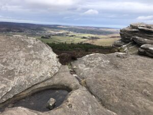
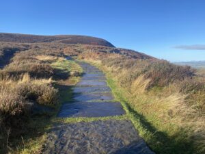
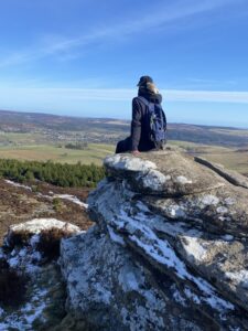
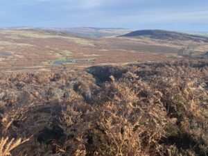
The Simonside hills, just to the south of Rothbury, stand proud on the skyline with their distinctive outline. This walk starts at the Haugh Carpark next to the river in Rothbury. From here it’s a short uphill climb to Whitton and then over the moors to Lordenshaws, where we will visit the Iron Age fort along with the ancient “cup and ring“ stones. A partially paved ascent then takes us to the tops of Simonside hills, with views in every direction. Finally, we descend down to Tosson Tower then onto Thropton, where we take a route up onto the carriage drive, leading us back down into Rothbury.
We meet in Rothbury at 9am at the Haugh Carpark, we can also collect you from Amble or Alnwick if preferred (limited seating). From here it’s a short uphill to Whitton and then over the moors to visit the Iron age fort at Lordenshaw along with the ancient “cup and ring” marks in the stones.
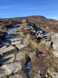
A steep rocky climb up a well marked path takes us to the top of Simonside, with views in every direction. There’s a steep, rocky downhill section off the ridge before heading into the woods and over the pastures to Thropton on the other side of the River Coquet. Lunch stop in Thropton
We then head onto the other side of the valley and follow the old Victorian carriage road back to Rothbury. Lots to see and take in along the way.
Gallery
Simonside Hills


Route Highlights
Itinerary
Meet Location – Cowhaugh Car Park, Whitton Bank Rd, Rothbury, Northumberland NE65 7QR (turn right over bridge, carpark by the river)
What3words location – cocoons.remains.pounding
Distance – 12.5 miles / 20kms
Ascent – 580m
Terrain – Rocky paths, Moorland, Farm tracks
Created by – Ian Rochester
MAP & LOCATION
Or alternatively contact us using the below details


